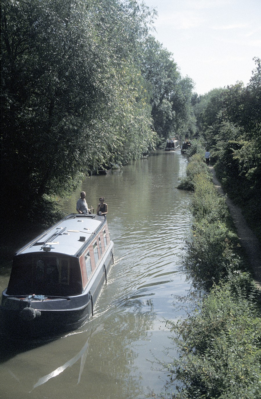
The Oxford Canal on the approach to Oxford. It was built between 1769 and 1790 as a contour canal, tending to follow the natural topography of the land rather than incorporate costly engineering on a more linear route. It therefore often has more of the appearance of a natural river than an industrial waterway: a green corridor.
Port Meadow from the north. The Meadow consists of some 340 acres of common land, and acts as a flood protection for the city (seen in the far distance) as almost the entire Meadow floods on a regular basis.
College Boathouses. The colleges of the University used to own barges which were moored on the north side of the Isis, downstream from Folly Bridge. They were very popular and attractive, (see the Eights Week photos) but by the later twentieth century they were falling to pieces. Eventually they were replaced by College Boathouses where boats could be stored.
On The Cherwell
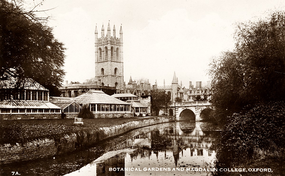
The greenhouses of the Botanic Garden, alongside the River Cherwell, with Magdalen Bridge and the 16th-century tower of Magdalen College (20th century). The Garden, the oldest in Britain, was established in 1621, but first needed to be raised by the importation of soil, to protect it from the dangers of flooding.
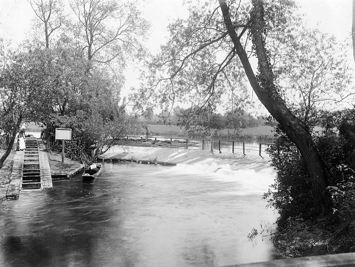
Parsons’ Pleasure, 1913 (Henry Taunt). The rollers to the left enable punts (such as those shown in the photograph) to be hauled easily from one level of the River Cherwell to the higher one. The location was famous since at least the 17th century as a nude bathing place for male members of the University. In the 20th century, a comparable facility for women was established nearby, known as Dames’ Delight.

Osney Lock, 1911. Originally constructed in the late 18th century the lock is one of several on the River Thames above Oxford which were designed by a dynamic and multi-talented prison governor called Daniel Harris, using convict labour. These were all ‘pound’ or ‘chamber’ locks, with gates at the top and bottom, replacing the previous highly inefficient single-gated ‘flash locks’.
Sections:
Oxford
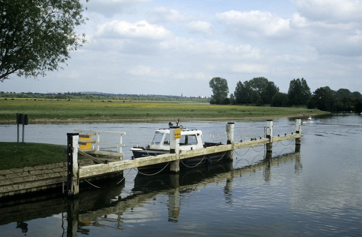
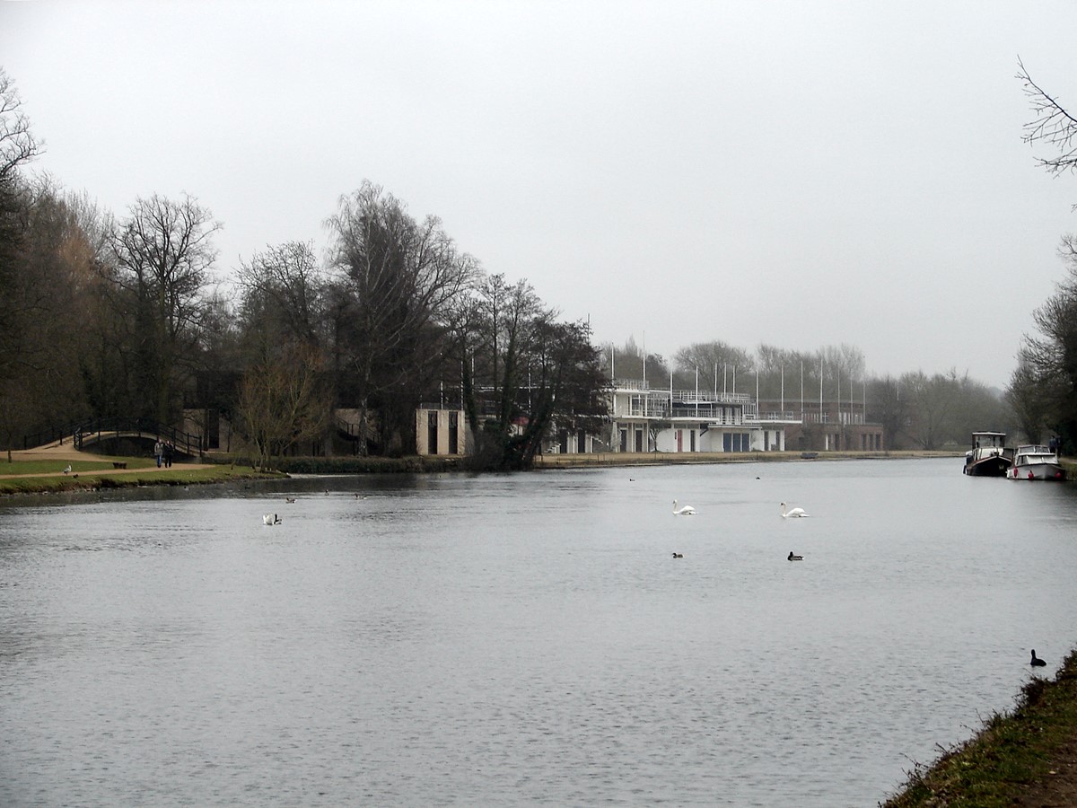
Section 1. Panoramas of the RiversSince the two rivers in Oxford are always winding, dividing into small streams and joining again, it is difficult to find panoramic views. The view downstream from Folly Bridge shows the Isis at its widest, just after the Cherwell joins it on the left. The Cherwell is a river for punting and bathing, its quiet banks shadowed by beautiful trees and abundant river plants. Magdalen Bridge (with Magdalen Tower and the Botanical Gardens) is the key bridge to London and the east. Port Meadow features in many of our photos: records of this open area date back more than 1000 years. The Oxford Canal is the third part of our system of waterways and, as we shall see, it plays a crucial part in twentieth century Transport and Industry.